Getting here ›
By car, by bike, by train, or by walking trail.
An hour east of Melbourne — long enough that the radio loses signal and the trees thicken. Here are four good ways to find us.
Four ways in
Pick the way that suits the day.
Each mode below has a step-by-step, distance, and the bit you usually only learn the hard way.
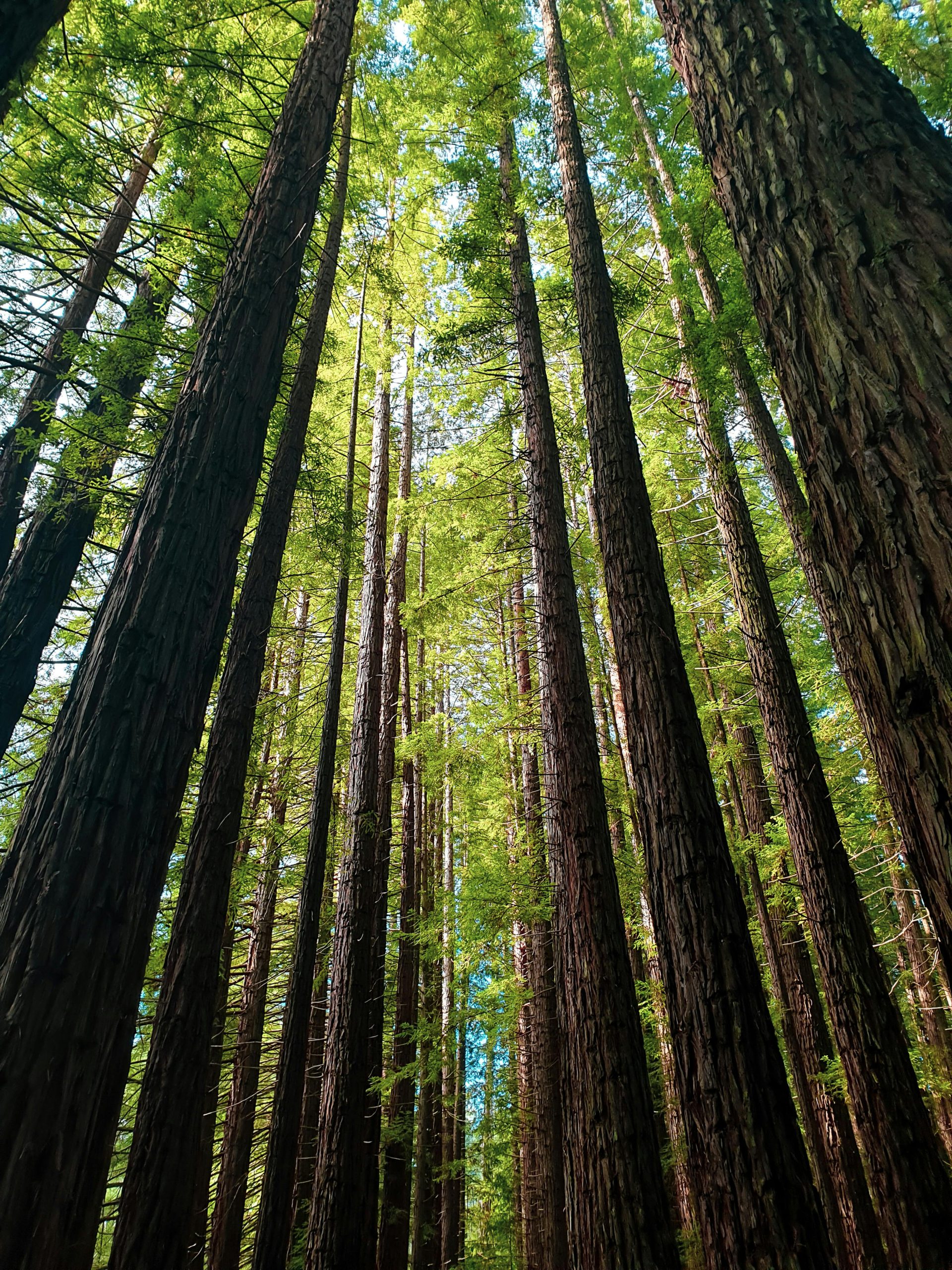
 Warburton Hwy near Wandin · Photo · J. Kemper
By car · from Melbourne CBD
One road, mostly. Watch for cyclists from Lilydale on.
The Warburton Highway is the spine of the Upper Yarra. From the city it’s the M3 to Lilydale, then it’s just one road east the whole way.
- 01 M3 Eastern Freeway → EastLink, exit at Maroondah Hwy. ≈ 35 min
- 02 Maroondah Hwy through Lilydale; turn right onto Warburton Hwy. ≈ 15 min
- 03 Warburton Hwy through Woori Yallock and Yarra Junction. Speed drops to 60 from Wesburn. ≈ 25 min
- 04 In the Warburton village, follow the Yuonga Rd turn — Hub on your right after the bridge. ≈ 3 min
Train + bus · from Flinders St
Lilydale line, then the 683 bus. Saturdays are the easy day.
Public transport gets you here in two hours flat. The 683 connects Lilydale Station and Warburton Village, hourly on weekdays and every two hours on weekends.
- 01 Lilydale line train · Flinders St → Lilydale. ≈ 1h 0m
- 02 Bus 683 Warburton from Lilydale Station bay 6. ≈ 50 min
- 03 Alight Warburton Hwy / Yuonga Rd; the Hub is a four-minute walk south. ≈ 4 min
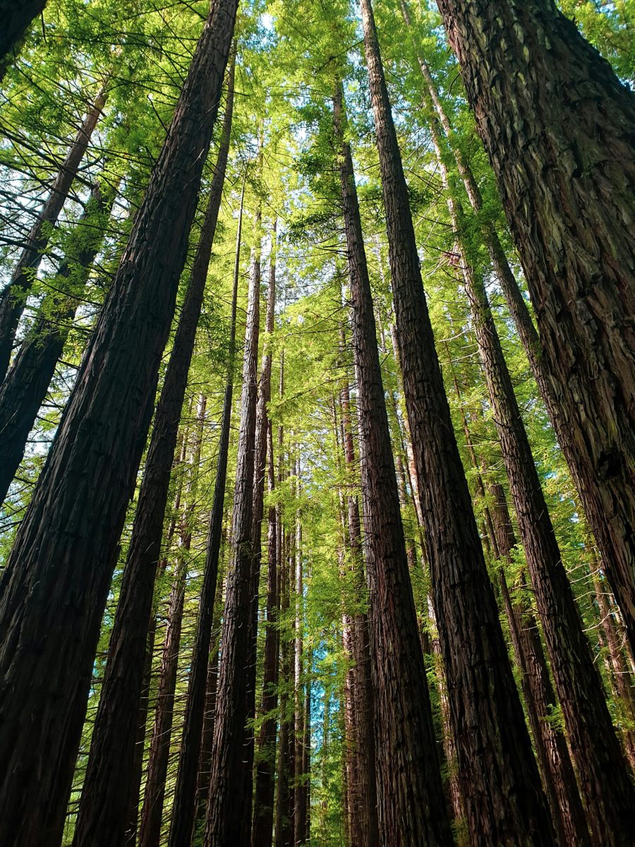
 Warburton Rail Trail · 38 km of mostly easy gradient
By bike · the Warburton Rail Trail
Lilydale to here, all on the old line. Mostly flat, mostly shaded.
The Lilydale–Warburton Rail Trail follows the disused branch line for 38 km — mostly gravel, sealed in a couple of stretches, gentle gradient until the last hill into Warby.
- 01 Start at Lilydale Station trailhead. Loos, water, bike-tap. 0 km
- 02 Through Mt Evelyn, Wandin North, Seville. Pies at Yarra Jn — non-negotiable. 22 km
- 03 Wesburn to Millgrove — riverside through Warburton tunnel of trees. 34 km
- 04 Last climb into Warby, finish at the Hub bike racks (8 bays, secure). 38 km
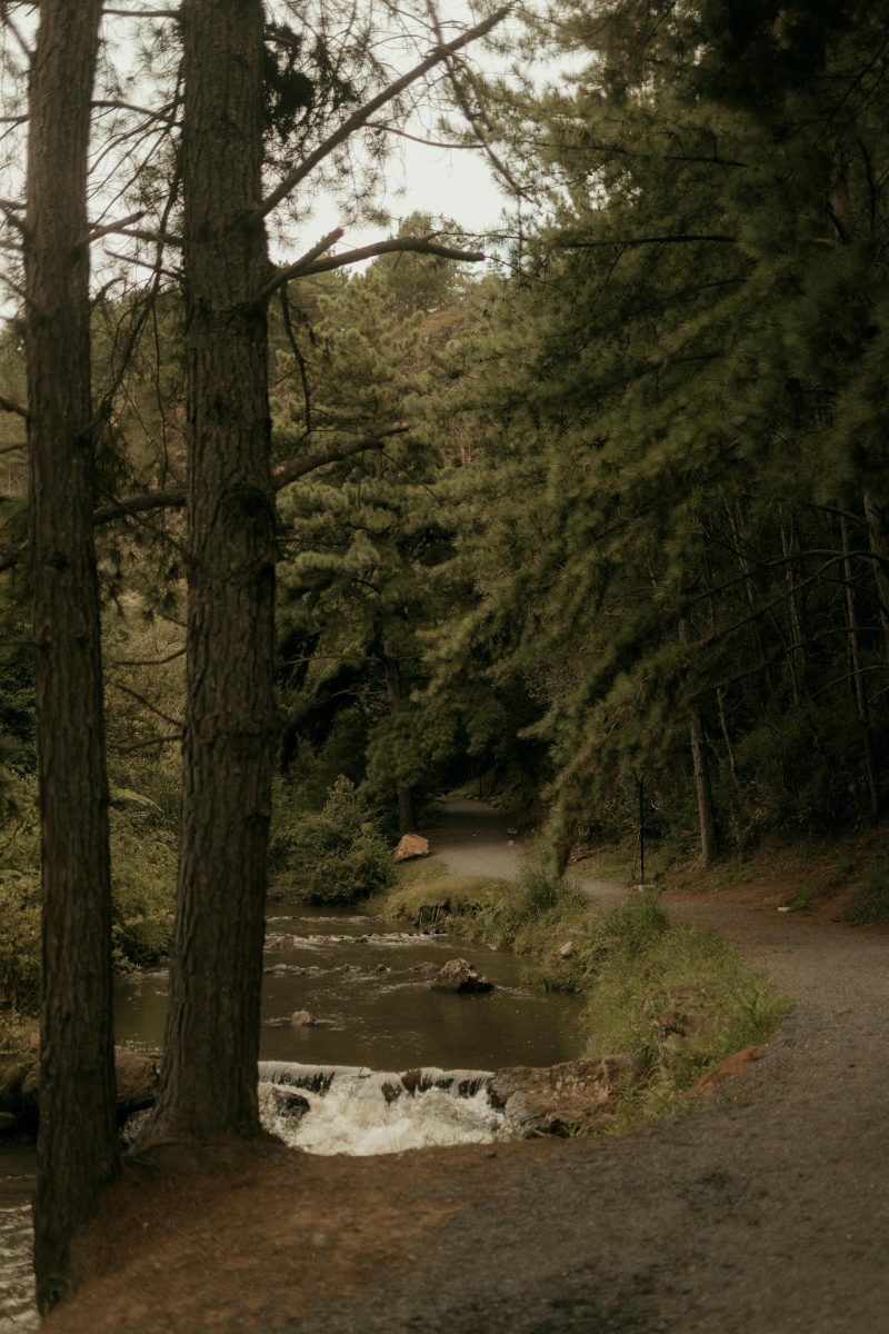 River path into Warburton · five-minute stroll
On foot · from the village
From anywhere in Warburton it's a ten-minute walk.
If you’re already in town — staying in a B&B, off the bus, finishing a walk — you can just turn up. The Hub is on the river side of the highway, signed.
- 01 From Warburton Library · 4 min, level. 350 m
- 02 From Three Sugars Café · 2 min across the road. 120 m
- 03 From the La La Falls trailhead · 25 min, gentle downhill. 2.0 km
- 04 From Warburton Caravan Park · 12 min along the river path. 900 m
From Melbourne · 82 km
From the city
It's only an hour out, but the air changes.
Take it slow. There's a stretch through Yarra Junction where the valley opens up to the south, and a stretch past Wesburn where the trees close in. Both are worth a window-down moment.
1
Melbourne CBD → Lilydale · M3 + Maroondah
35 min
2
Lilydale → Yarra Junction · ranges in view
25 min
3
Yarra Junction → Warburton · river at your shoulder
10 min
Things you only learn the hard way
Three small notes from the volunteer roster.
Service stations on the way in.
The last service station with reliable opening hours is Yarra Junction. Top up there before heading further up the valley.
Mobile signal is patchy.
Telstra's the strongest, then Optus. Vodafone is a wish. Download a map before you leave Lilydale; the Hub has wi-fi when you arrive.
Check the road on snow days.
Mt Donna Buang gets snow most winters. The Warburton Hwy is fine; the Donna Buang summit road may close — check VicRoads before you head up.