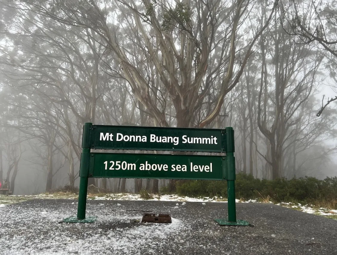
Rising to about 1,245 metres above Warburton, the summit of Mount Donna Buang is one of the closest places to Melbourne where you can climb above the forest and, in winter, play in the snow. The mountain sits within Yarra Ranges National Park, reached by a winding mountain road that climbs roughly 17 kilometres from Warburton (around a 20 to 25 minute drive). At the top, a 21-metre lookout tower delivers a 360-degree panorama that takes in Melbourne, the Yarra Valley, the Dandenong and Cathedral Ranges, Mount Baw Baw and the distant Alps.
From the car park, a short walk through towering Mountain Ash and snow gums leads to the summit and its picnic area, which has picnic tables, toilets and a lookout. Please note that the gas barbecues here are closed for the foreseeable future, so bring food that does not need cooking. Several walking tracks set off from the summit: a 1.2 kilometre stroll to the 10 Mile Picnic Area (about 30 minutes), a 2.5 kilometre walk to Mt Boobyalla (around 1.5 hours), and a longer 6 kilometre route via Mt Victoria and 10 Mile (about 3 hours). Lower on the mountain, the Rainforest Gallery elevated walkway is currently closed until further notice.
In winter, typically from June to August, Mount Donna Buang becomes a popular free snow-play destination, with three toboggan runs open when snow cover is adequate. Only plastic moulded toboggans are permitted; skis and snowboards are not allowed. Because the mountain is relatively low, snow can be variable, so check conditions before you set out. Snow chains are recommended rather than mandatory, and it is best to arrange chain hire before you reach Warburton. After overnight falls the road is usually graded and cleared by around 11am, and the Department of Transport and Planning can close it at any time in dangerous weather.
The mountain carries a long human history. Its name, Donna Buang, means “the body of the mountain” in the Wurundjeri language, while the colonial name Mount Acland was assigned in the 1860s. A walking track opened in the 1890s and the Bridle Track followed in 1912. The slopes were logged for timber from the early 1900s to the mid-1920s, and the mountain was a popular ski resort from 1925 to the early 1950s. Yarra Ranges National Park was established in 1995, protecting the summit and its surrounding forest for visitors today.